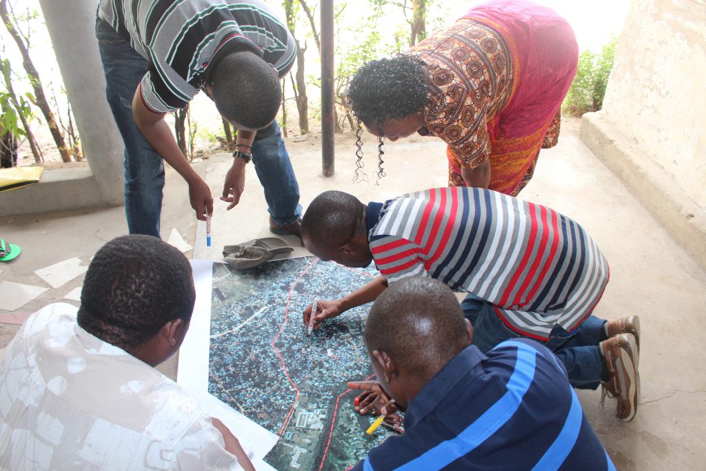
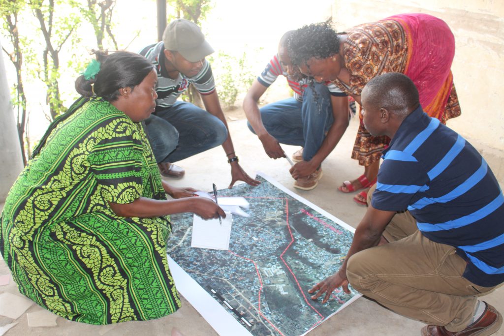
Mapping.
CCI supports the community to build their capacity in mapping, installing and providing technical support in analyzing the information. Special dedicated community teams from Federation network have been identified, equipped and trained on mapping.

The Mapping of settlements ranges from sketching maps produced by community with the help of leaders and elders, and using the Geographic Information Systems (GIS). In most cases the mapping process has been undertaken as a part of the profiling and enumeration process. The mapping process has been very important is identifying details information of services, structures, hazard areas, boundaries and other necessary information available within the settlements. Mapping have not been used in collecting information only, but also used as base information for planning intervention and monitoring tool.
CCI Tanzania Copyright © 2025 All Right Reserved.


